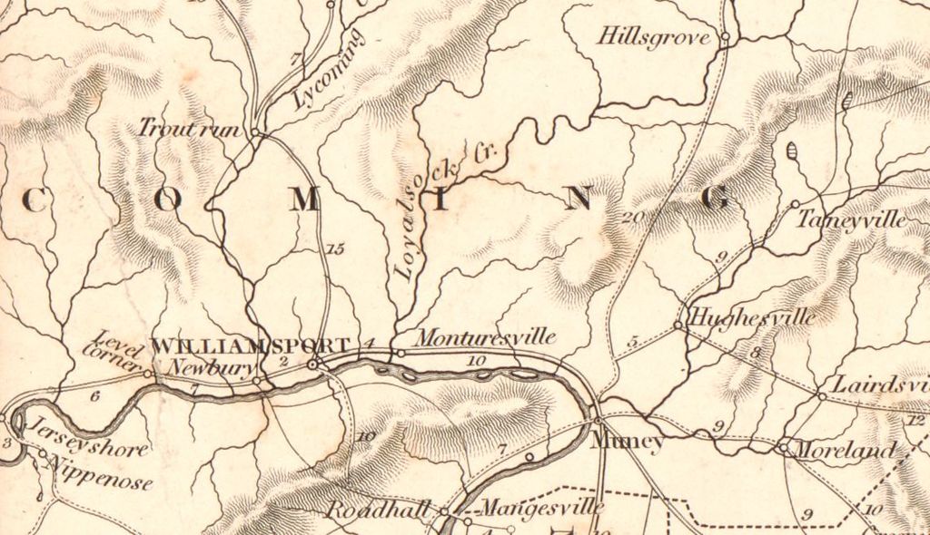
A closer look at the Central Susquehanna Valley as portrayed on the
1839 Map of New Jersey and Pennsylvania exhibiting the post offices, post roads, canals, rail roads, &c.

Note: My intention is to come back later and list the canal routes and railroad routes depicted on this map. But for now, here are closer views of the map:

INcluding Mifflinburg, Selinsgrove, Northumberland, Sunbury, Milton, Watsontown, and White Deer

Area of Columbia County
Including Danville, Shamokin, Catawissa , Millville, Rohrsburg, and Berwick
===========
READ MORE
=============

No comments:
Post a Comment
I'll read the comments and approve them to post as soon as I can! Thanks for stopping by!